

LINCOLN – A new drone program was recently launched by the Nebraska State Patrol.
According to a release from NSP, this program is designed to get roadways cleared faster, while still conducting a thorough crash investigation. The new program includes crash reconstruction investigators throughout the state.
NSP officials state this is a major step for their team as they combine new technology with the expertise already possessed by their current crash reconstruction investigators.
The goal of this program is to be able to clear crash scenes faster, while maintaining the high-level of investigations NSP troopers already perform. Clearing a scene faster means roads can open sooner, saving time and money for travelers and the trucking industry while also preventing secondary crashes.
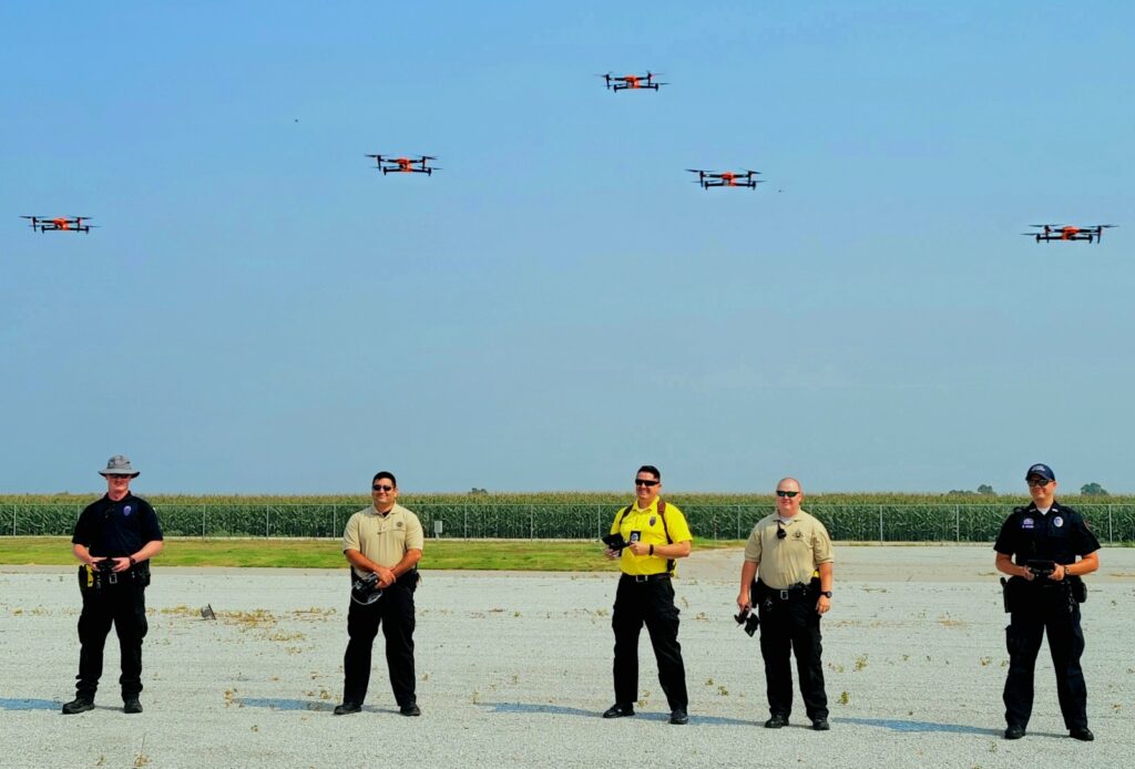
NSP crash reconstruction investigators who are part of the drone program have all completed the Federal Aviation Administration’s Part 107 certification as Unmanned Aerial Vehicle (UAV) operators. In addition to that training, they have all undergone an additional level of training specific to utilizing the UAVs for 3-D mapping of crash scenes.
This technology brings NSP crash investigations to a new level as investigators work to create the best possible visual representation of a crash scene. The new drones, coupled with state-of-the-art mapping systems, allow NSP investigators to gather investigative images and data in less than half the time it used to take.
NSP has 19 certified drone pilots based in troop areas throughout the state. Training flights and reconstruction mapping tests have been conducted at Husker Harvest Days near Wood River in recent weeks. The drone program has already been used to investigate several crash scenes across the state.


